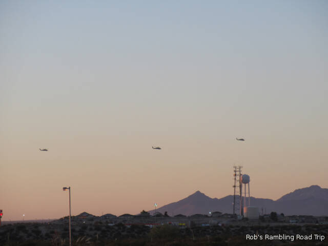
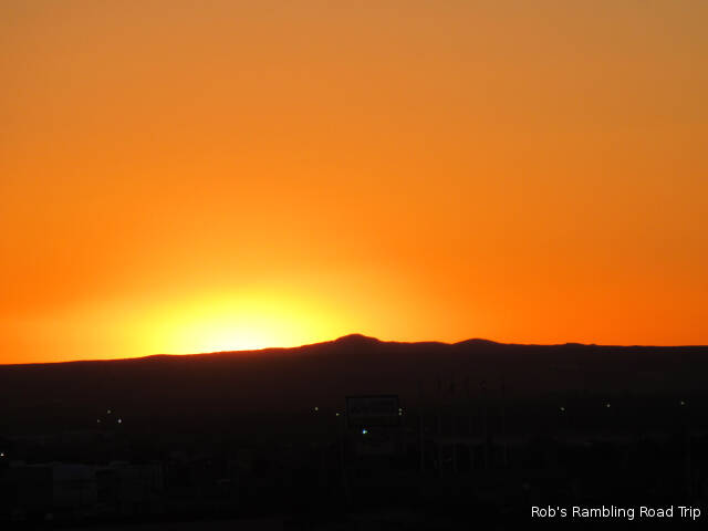
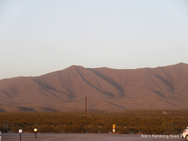
Friday May 31st 2019
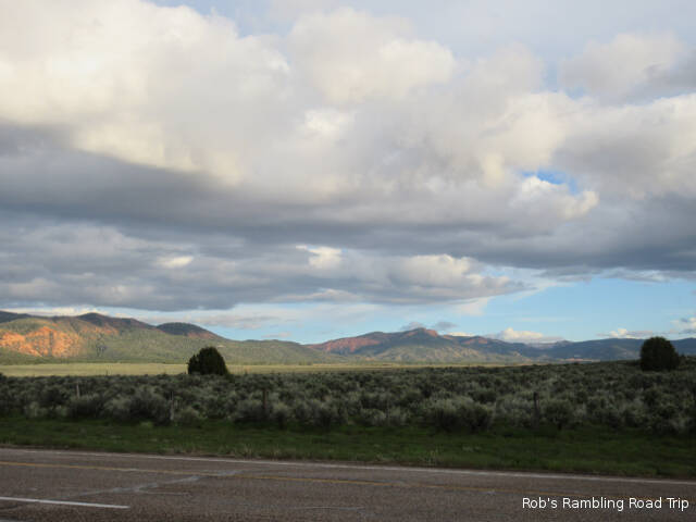
It was a cloudy dry day. The threat of thunderstorms never materialized. It was a good day to do some touring in Bryce Canyon National Park.

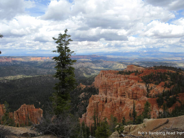
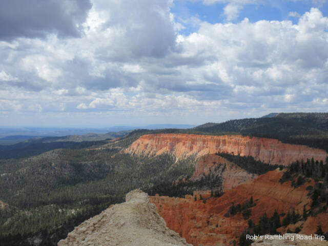
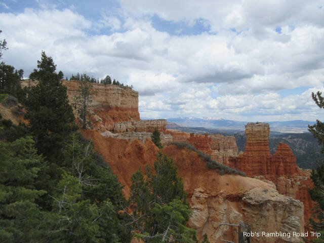
This is my third visit to Bryce Canyon National Park. On both of my previous visits I focused my touring on the Hoodoos near the entrance to the park. Today I wanted to see other areas of the park. After a stop at the visitors center to watch the movie and tour the gift shop I drove south 18 miles on the park road to the end at the Rainbow Point area. This is the highest elevation in the park at a little over 9,000 feet.
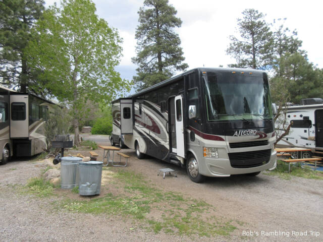
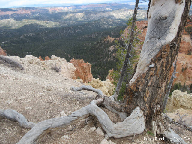
I took a lot of pictures of the views from the overlooks. I started down one of the loop trails below the canyon ridge, but turned around after a short distance. I’m out of condition for hilly hikes particularly at high elevation. I was breathing hard going down hill, coming up hill after a longer hike would have been misery. I’ve been walking on level ground at sea level for the last six plus months. My touring today turned into driving from one overlook to the next and taking pictures with a little walking thrown in along the canyon ridge.
This blog entry is going to be mostly pictures with some commentary in the captions. Tomorrow and Sunday I’ll be back to take pictures and tour other parts of the park. Hopefully, the sky conditions will be more cooperative.
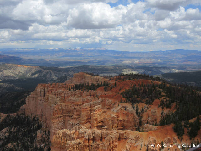
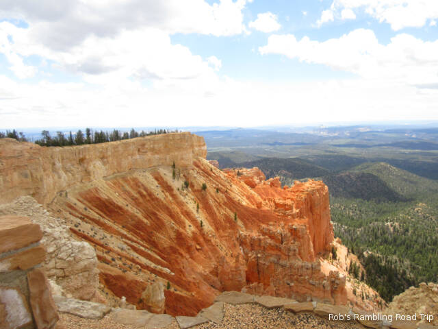
Rainbow Point

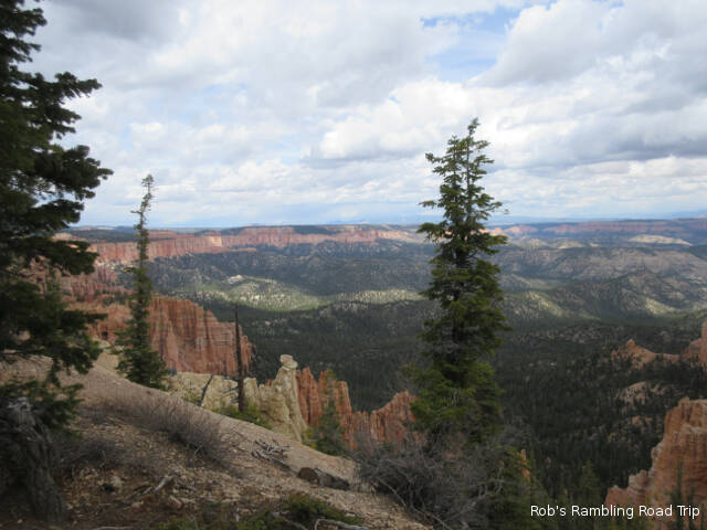


Yovimpa Point
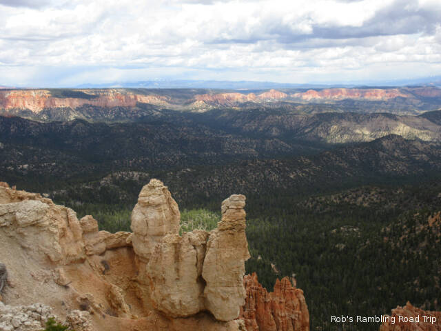
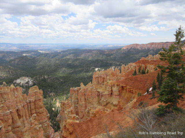
Ponderosa Point
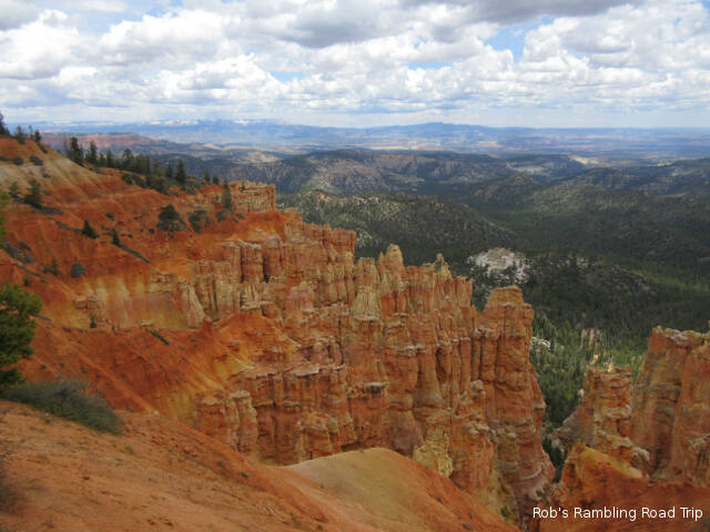


Natural Bridge