Saturday March 4th 2017
Today was a beautiful sunny day with highs in the 80s and light winds. Tomorrow and Monday are not forecast to be as nice, so I took advantage of the weather to visit the Arizona Sonora Desert Museum.
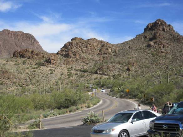
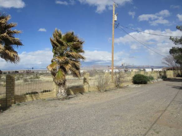
Road coming down Gates Pass
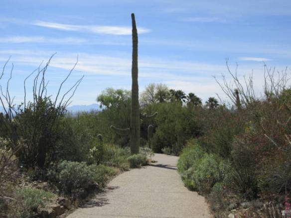
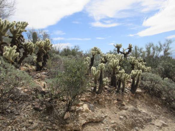
The museum is to the west of Tucson about 50 miles from my campsite. I got there off of Interstate 10 on a road clearly labeled for passenger cars only. It soon became clear why there were many warning signs. West Gates Pass Road was barely two lanes wide and twisted and turned up to the top and then steeply down the opposite side. It was surrounded by desert with many saguaro cactus. It was a fun drive in my CR-V, but the guy in the rental Class C motorhome that didn’t heed the signs may have needed to change his underwear. Then again he may not have been smart enough to be scared, since he didn’t believe the signs. I returned the longer way out to Interstate 19 south of Tucson. It wasn’t much longer, but more populated and a lot less scenic.
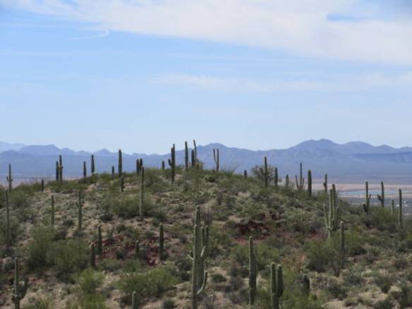
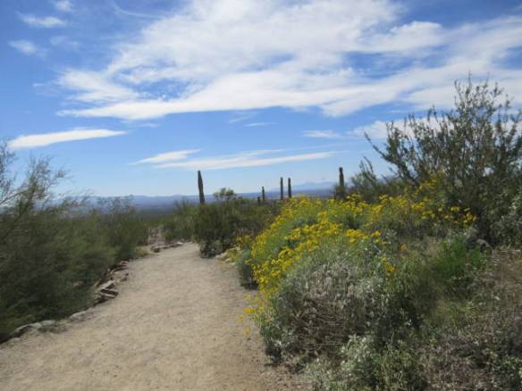
Overview of the area surrounding the museum.
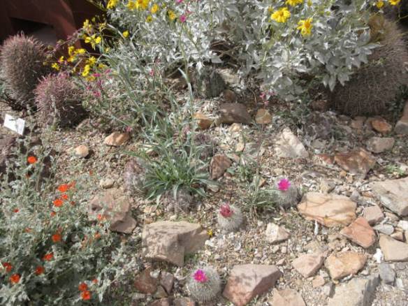
The museum has a collection of plant life from all over the Sonora desert and representative animal life from the desert as well. Not all of the plants and animals are native to this part of the large desert. There are also a few exhibits that I can only believe are here to draw visitors. Why is there a stingray touching tank. They stretch the line by pointing out that the desert abuts the Pacific Ocean and the Gulf of California.
The remainder of this blog post contains some of the pictures I took today.

Desert squirrels run around the museum. They aren’t part of the exhibit, but provide a level of entertainment. The fur on their backs look like scales.
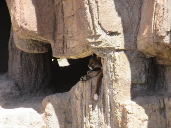
Mountain Lion hiding in the artificial cave.
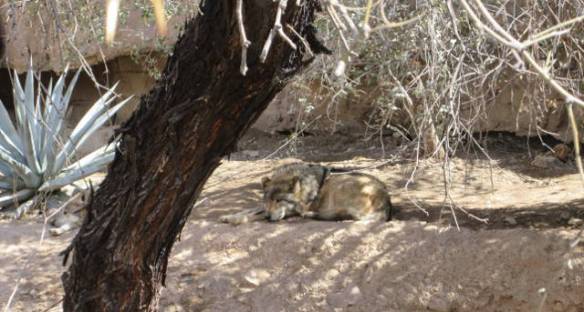
Mexican Wolf
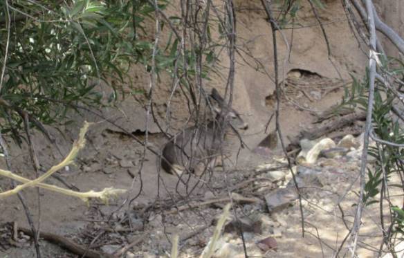
White Tailed Deer
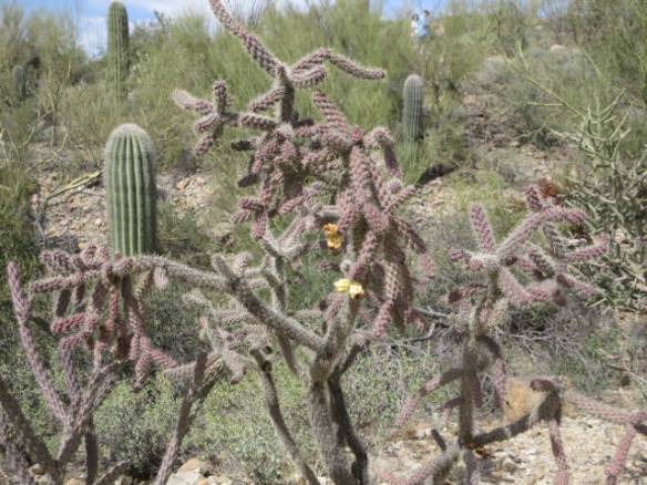
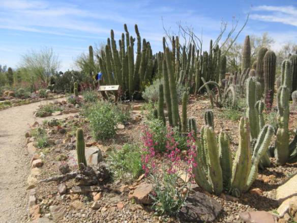
Organ Pipe Cactus


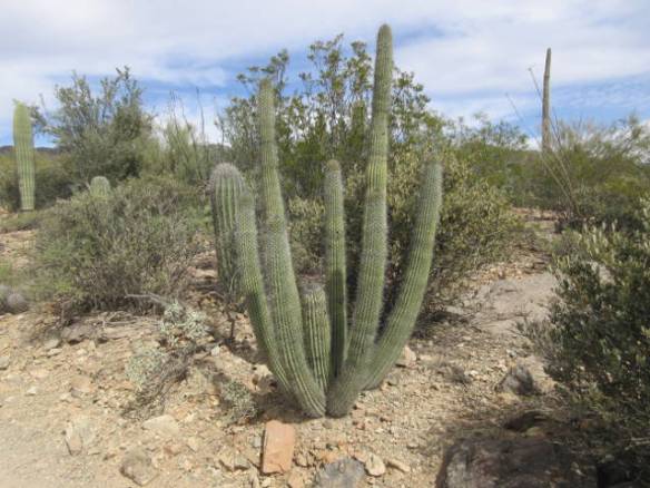
More Organ Pipe Cactus
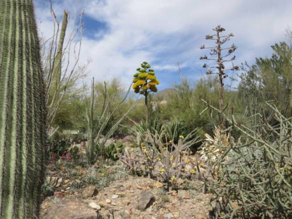
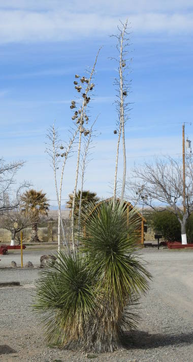
Agave in Bloom


Bighorn Sheep
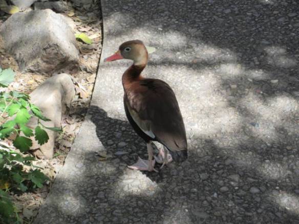
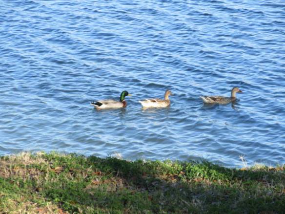
Black Breasted Whistling Duck