Monday September 4th 2017
The holiday weekend is over. Life at the campground has returned to the slow mid-week pace. The smell of campfires and sounds of kids playing have gone away. The weekend campers started leaving last night after dark. A couple of RVs from California packed up after the sun went down last night and departed for home during the cool overnight hours. Interstate 15 west of Las Vegas heading for the LA area is notorious for backups on holiday weekends so that may be another consideration. This morning many others from Utah, Nevada and Arizona packed up and left.
It was another above normal day in the low 100s. We are getting some relief this evening. It has clouded over and is threatening a thunderstorm. Monsoon moisture is returning to the area so the temperatures will be lower, but afternoon thunderstorms will become the norm. The probability of storms increases each day this week.
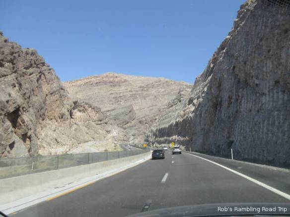
Northeast bound on Interstate 15 in the Virgin River Gorge of Arizona.
Northeast bound on Interstate 15 in the Virgin River Gorge of Arizona. Taken through the dirty windshield.

Northeast bound on Interstate 15 in the Virgin River Gorge of Arizona.
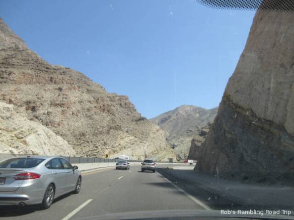
After spending yesterday at home, I had to get out today. I went south on Interstate 15 toward St. George with the intent of stopping at an outlet mall. When I got into the area of the mall, I lost my interest in shopping so I continued on down the road. I drove out of Utah, through Arizona and into Mesquite Nevada. The southwest bound traffic I was part of was quite heavy through the long down hill trek through the Virgin River Gorge. This is another section of creative highway engineering. The road crosses the river several times and at in one section is built right over the river bed.
In Mesquite I walked through a couple of casinos and played a few slot machines. I never made enough money to leave with a profit, but I got a good period of play for twenty bucks. Traffic on the return trip wasn’t as bad. Once again I drove by the shopping ares of St. George.