
Monday September 14th 2020
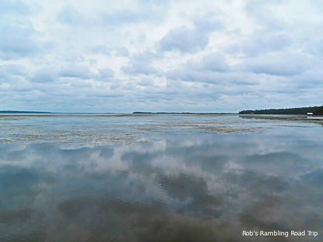
The impacts of hurricane Sally have started to arrive here in the southwest corner of Georgia. The day began with heavy cloud cover. The sun never made any appearances today which kept the temperature down even though the humidity remained high. For most of the day the storm with all of the really nasty weather remained off the coast more than seventy miles from here. The center of circulation was even further out in the gulf. As the day went by the weather radar showed the rain shield reaching inland. Shortly after 4PM a band of rain rotating around the system moved into the area. Heavy rain fell for an hour or so. The noise on the roof of my RV home was a steady roar. Since about 6PM there has been only occasional light rain. More is clearly on the way as the storm circles this area with a radius of one to two hundred miles.

So far there hasn’t been heavy wind in this area. The current forecast keeps most of the wind in Mississippi and Alabama. As the storm wraps around to the north of here the wind will pick up, but much of the strength of the slow moving tropical system will have dissipated by then. Rain is the main concern in this area. By the time the system moves away on Friday, over five inches of rain may have fallen.

As you can probably tell from the previous two paragraphs, I’ve been monitoring the approaching storm pretty closely. Between the weather channel, the internet and the local TV stations I’ve been keeping up to date on the track of the storm. I’m in a good location. The path of the storm will be well south, west and north of here. Even so, I’ll be watching all of the storm coverage again tomorrow.
