
Friday September 8th 2017
It’s been a long but exciting day. I got up early to check in for my boat to the Rainbow Bridge National Monument at 7am this morning. The boat left the Lake Powell Wahweap marina at 8am and returned at 4PM after 100 plus miles on the boat.
The weather was labeled as partly cloudy. As long as you recognize that partly cloudy also means occasional light showers, the forecast was accurate. The lack of a baking sun was a good thing. I road on the open upper deck most of the trip. I retreated to the lower covered area during one heavy wind and light shower on the way home. The top deck was ideal for taking pictures although I got a little carried away. I took over 900 pictures.
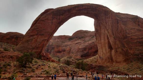
Rainbow Bridge
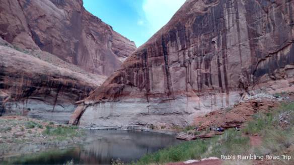
Path leading up the canyon to the Rainbow Bridge. Note the high water mark on the rock walls. In 1983 when the Lake reached its peak level for the first time the water was around 20 feet higher.
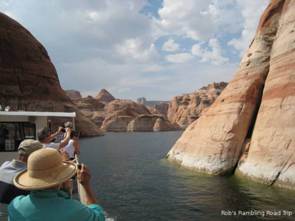
Narrow canyons on the way into the Rainbow Bridge National Monument
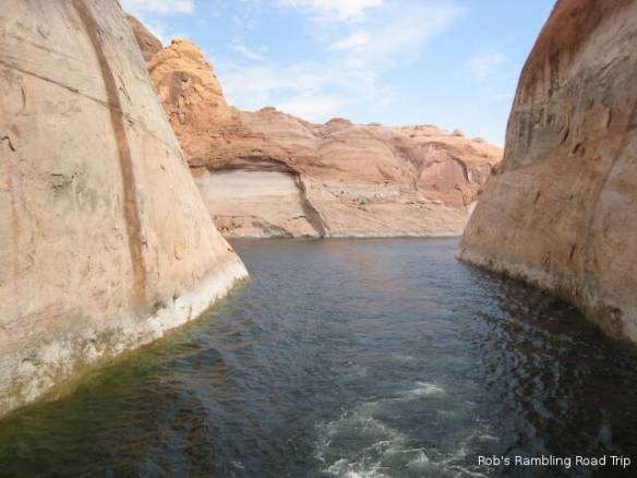
Another look behind the boat at the narrow canyon the boat passed through.
The battery in my primary point and shoot camera started displaying a warning when we were only three quarters to the Rainbow Bridge. I switched to my backup point and shoot that I brought along just in case. At the Rainbow Bridge National Monument I switched to my cell phone camera because it produces more brilliant color in the pictures. The cell phone started complaining about low battery a third of the way back. It was also difficult to hold onto in the wind on the moving boat. I finished the trip using my backup point and shoot camera. As I’ve been writing in my blog entries for the last month, I’ll post all of the pictures in a Google Photos album once I get a good internet connection. This blog contains a handful of nice pictures. When you take 900 plus pictures many of them are not the greatest. Taking pictures into the sun’s glare or completely in the shadows will cause “bad” pictures.
The Rainbow Bridge is an arch created by flowing water. It is located at the higher end of a series of narrow canyons in the shadow of 10,388 foot Navajo Mountain. It is only accessible by boat or very long hike from near Navajo Mountain. The boats tie up to floating docks that are adjusted periodically to account for the changing lake height. The first part of the half mile trail is along the floating docks followed by a trek along the base of the canyon wall.
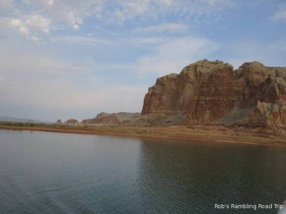
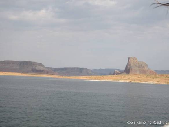
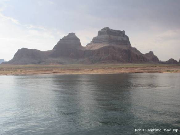
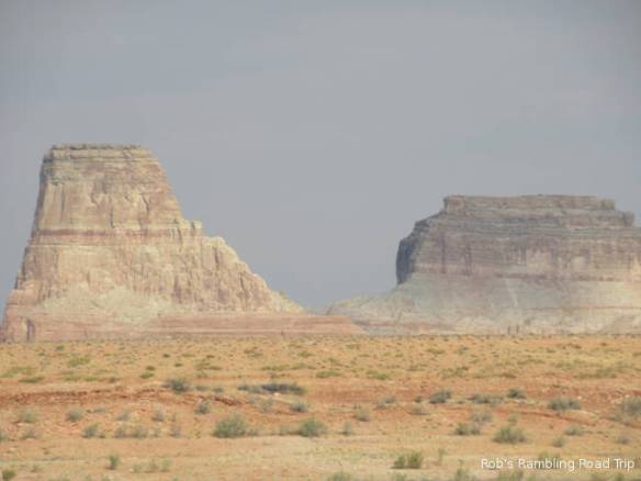
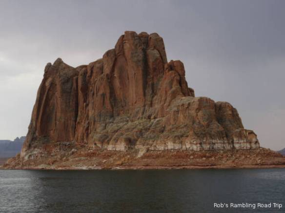
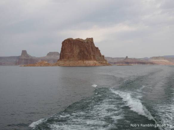
This series of pictures are from the trip to the Rainbow Bridge.

House boat with extra water craft in tow.

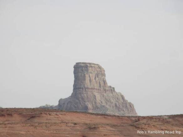

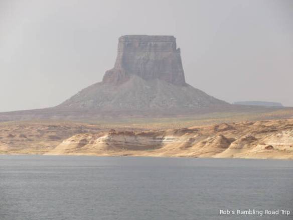
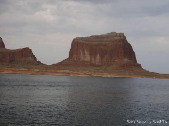
Table butte.


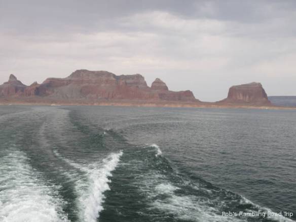
Bad weather behind the boat. It never really caught up with us.
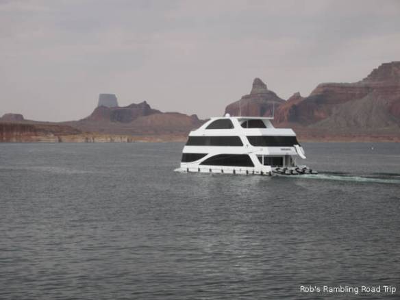
Fancy house boat with the water craft docked to the back.
It rained during the hike from the boat to the Rainbow Bridge. The rain was just hard and long enough to get you wet. It also made my pictures at the bridge a little duller. The sun was out in full force by the time I got back to the boat.
The trip back included a stop at the Dangling Rope Marina to give the store and ice cream stand run by the same concessionaire as the boat ride a little business. There was no narration on the return trip. It was generally a high speed run except when the captain had to reduce his wake to pass one of the many houseboats. Apparently, people don’t like their home rocking in the waves.
