
Wednesday September 6th 2017
I am at the Lake Powell Resort and Marina in the Glen Canyon National Recreation Area for the next week. I departed Hurricane Utah at the 11am checkout time and climbed up onto the Arizona Strip section of the Colorado Plateau for the 130 plus mile trip to Lake Powell. The Colorado Plateau is the high ground surrounding the Colorado River. Over the last couple of weeks I learned that Zion and Bryce canyons are both in the Colorado Plateau. The Arizona strip is the name given to the part of Arizona north of the Colorado River that is somewhat isolated from the rest of the state.

Site D-75 at the Lake Powell Resort and Marina campground.
After the rather steep eight percent grade climb out of Hurricane UT onto the plateau, the trip was fairly easy. The weather threatened rain all day but the temperature still got into the high 90s. At one point on the drive a brief sprinkle of rain hit the windshield accompanied by a strong cross wind. The rain was inconsequential, but the wind caused me to tighten my grip on the steering wheel. I arrived at the campground on Lake Powell after a little over two hours of travel. It was officially 12:20 local time, but it’s very hard to know what time it is.
I’m in Arizona so it is officially Mountain Standard Time or 1 hour earlier than Utah which is using Mountain Daylight time. Trying to figure out the time is hard. According to the map, Utah is only a few hundred yards from where I’m parked. My cell phone seems to prefer a cell tower in Utah so it reports time in MDT units. If I walk toward Lake Powell, my phone picks up a cell tower in Arizona and reports time in MST units. To further complicate things, I have no local TV stations to orient my sense of time. My DirecTV satellite stations are all in Eastern Daylight time. I finally found a Page Arizona radio station that may or may not help. I’m not going to have a clue what time it is while I’m here.
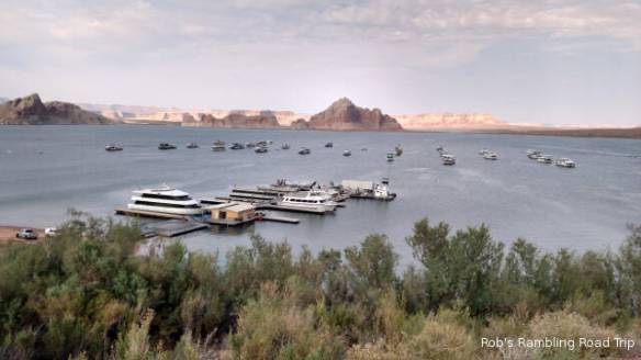
Some of the larger boats at the Resort’s dock with house boats out in the lake.
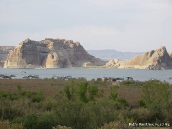
Buttes in the lake. I don’t know which of the lines on the rock represent the high water line.

Wide view of this section of Lake Powell. The Glenn Canyon dam on the Colorado River is a mile or more to the right.
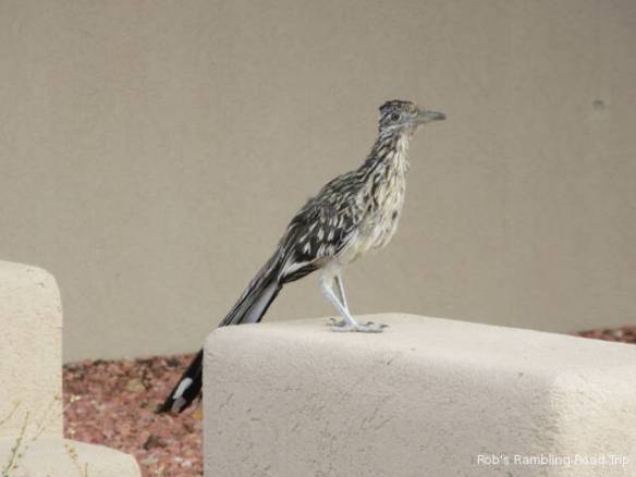
This Roadrunner (?) was very entertaining.
I have a good view of Lake Powell from my campsite. The lake’s water level is low, but I’m not sure how low. Unlike Lake Mead behind the Hoover Dam, Lake Powell doesn’t seem to have as pronounced a high water mark on the surrounding rock walls. I hope to learn more about the water level while I’m here. On Friday, I’ve booked a boat excursion on Lake Powell. Maybe, I’ll learn more then.
