
Friday August 11th 2017
I took a journey to the Canyonlands National Park today. The northeast corner of the park is known as the Islands in the Sky Unit. It is located about 30 miles east of Arches National Park. This area of the park is a contained on a mesa at around 6000 feet in altitude. It is surrounded by canyons cut into the rock by the Colorado and Green Rivers. The canyon floors are fourteen hundred to twenty five hundred feet below the top of the mesa. This blog entry is mostly pictures. I took 220 pictures today. I’ll make all of the pictures available in a Google Photos album when I have internet band width to upload them.
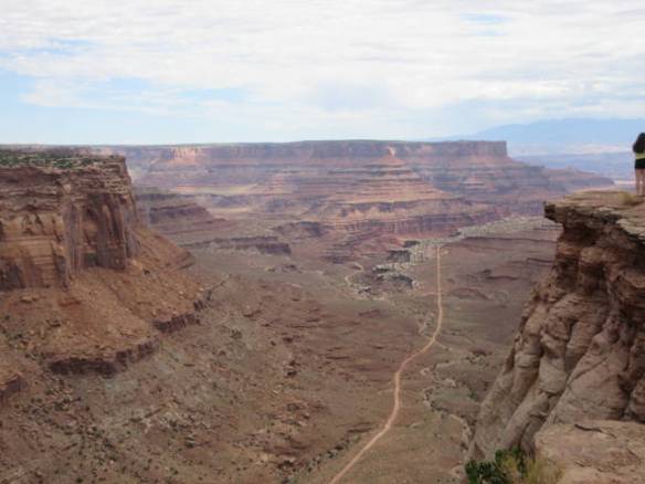
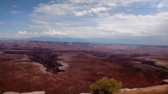
First view of the canyons after entering the National Park.
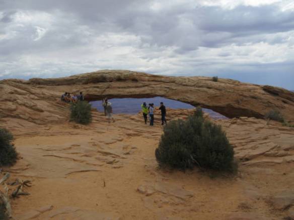
Storm clouds moving in over Mesa Arch. A few raindrops fell before it started to clear.
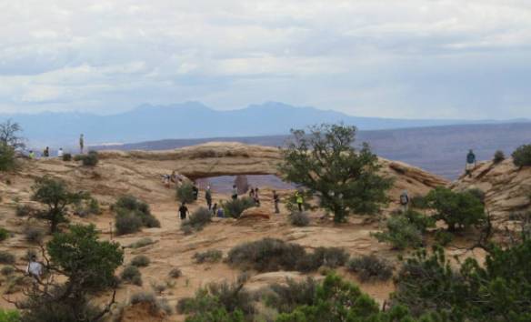
Mesa Arch
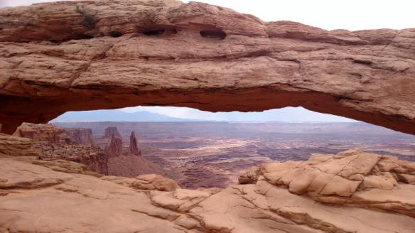
View through Mesa Arch.
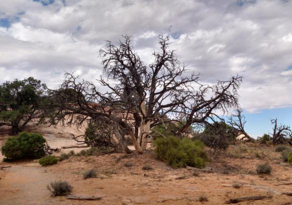
Ghostly tree
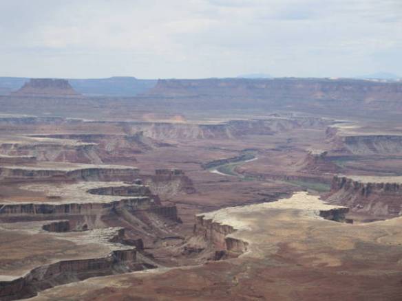
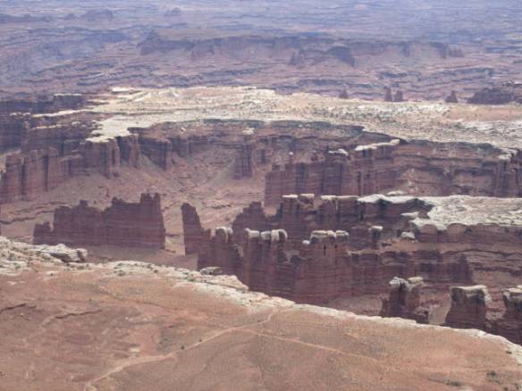
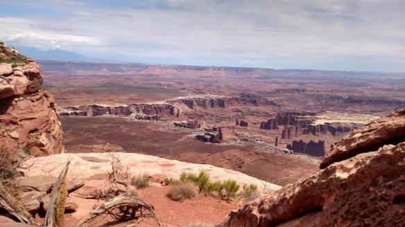
Green River View. The winding green water at the bottom of the canyon is the Green River.
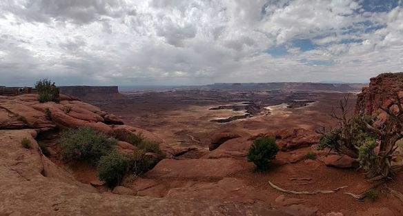
Green River Overlook
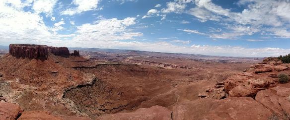
Panorama at the Green River overlook
Buck Canyon
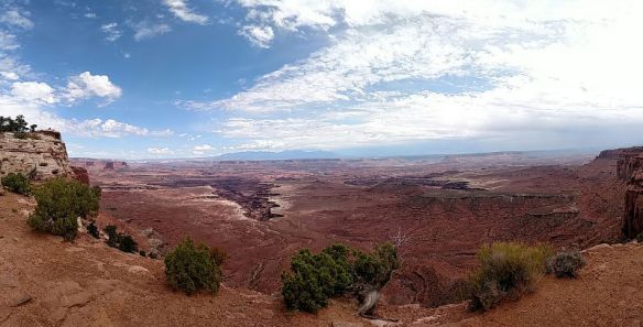
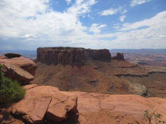
Grand View Point Overlook
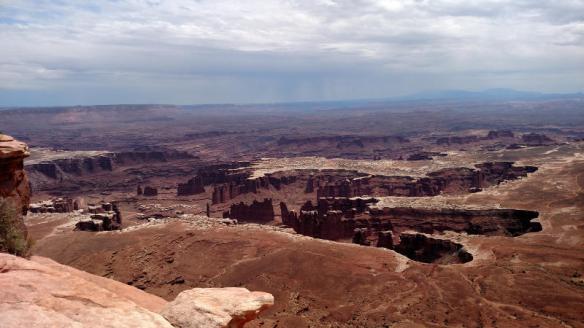
Grand View Point Overlook
Path along the side of the Canyon. It turned out to be a one mile hike to the actual point.

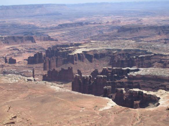
One of the Islands in the Sky climbing out of the canyon floor.
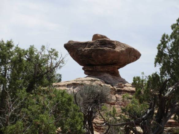
Rock martini anyone?
At the point. This is the southern most point in the Islands in the Sky Unit. The canyon continue for miles beyond the butt across the first narrow canyon.

The things that grow in the dirt that accumulates in the cracks in the rock.
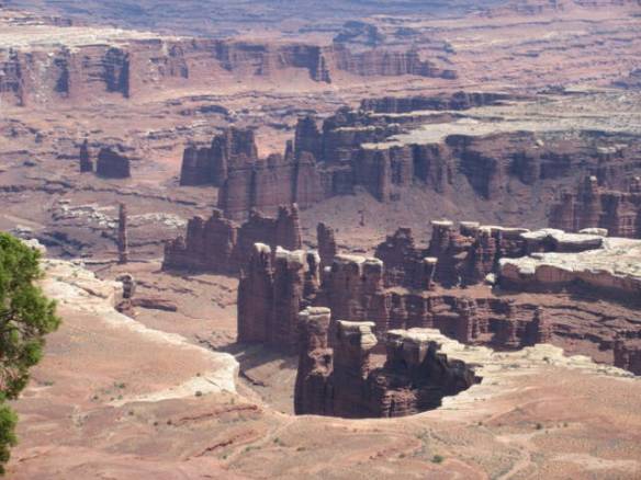
Panorama of the canyons at the end of the trail.

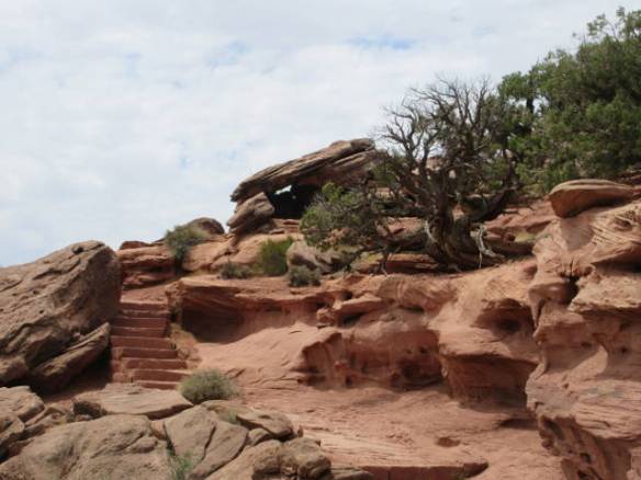
The return path climbs back up the steps built of quarried stone.
 End of Canyonlands National Park

Love these posts, Rob. So glad you are seeing and documenting it so well. This way, if I never get there, I can see it all through your eyes, or lens, lol
LikeLike