
Tuesday May 9th 2017
It was another beautiful sunny day with the high temperature in the mid 70s. I set out in late morning to visit Virginia City NV. Virginia City was the center of the late 19th century gold and silver mining bonanza that gave Nevada its name as the Silver State. At its peak over 25,000 people lived in and around Virginia City. Today there are still many residents of the community but their primary focus is tourism.
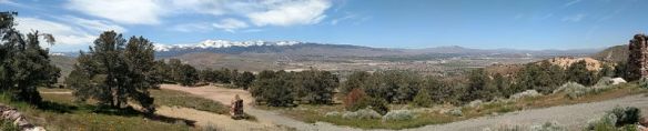
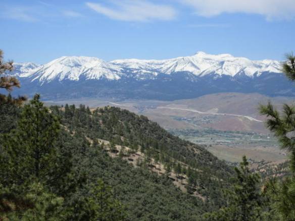
Panorama of the Truckee Meadows from the overlook in the Virginia Mountains
Virginia City is located at over six thousand feet on the east side of the Virginia mountain range that make up the ridge line on east side of the valleys that are home to Reno and Carson City. It is about halfway between the two cities north to south. To get there I climbed the side of the mountain range on a good wide road that had plenty of switchbacks from the valley floor south of Reno. Unlike some of the roads around Lake Tahoe there were plenty of turnouts to stop and admire the view. My first stop had a very good view of the Truckee Meadows Valley area with Reno to the northwest and the Washoe Valley to the southwest.
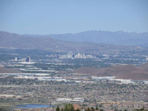
Reno at the north end of the valley.
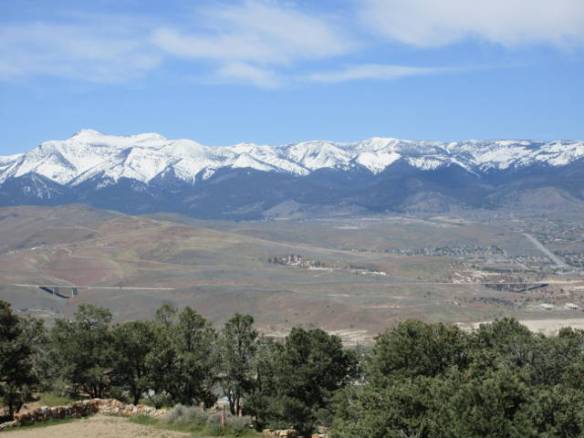
South end of the Truckee Meadows with route I-580/395 passing on the side of the valley.
The second turnout that I stopped at had a historic marker for the Old Geiger Grade Road. This was a toll road that Dr. Davison Geiger and John Tilton built in 1862. It provided the most direct route from the Truckee Meadows to the Comstock Load. It is hard to imagine the difficulties that people must have had getting to the mines. The road path is very steep, narrow and rugged.
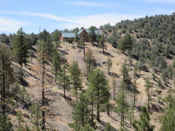
Area that the Geiger Grade Road passed through before the modern road was cut along the slop above on the left side of the picture.
Mt Rose across the Washoe Valley.
Virginia City becomes visible after you cross the pass and start the decent on the east side of the mountains. My initial impression was of an old west town on the side of a steep hill. The wide road was lined with old buildings and store fronts on both sides. A boardwalk serves as the side walk. It isn’t a dirt road with horses and buggies. It is a paved road with cross walks and cars parked on both sides. There is even a traffic light for emergency vehicles at the south end of town. When you get closer it becomes apparent how much of a tourist attraction the town has become. The store fronts are mostly gift, antique, junk or food shops. Others charge a fee to enter what is advertised as a museum. The bigger tourist attractions like the Virginia and Truckee railroad ride and the bigger mine tour are not open yet. I wanted more history and less tourist attraction. Once again a visit during the summer is on my list.
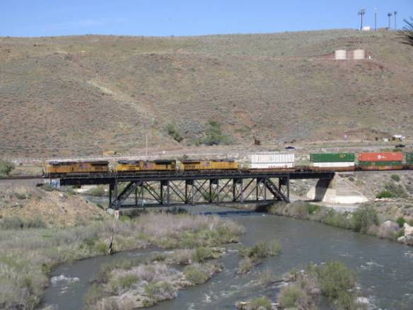
Long west bound freight train. It had three engines in the front and one at the rear.
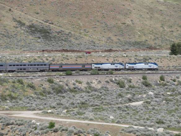
East bound California Zephyr Amtrak train.
Back at my RV home this afternoon, I finally caught sight of trains I’ve been hearing on tracks along the Truckee River. While I was out for a walk around the campground a west bound freight train with three engines in front and one in the rear passed. I stopped counting at 100 cars, probably halfway along the train. Just before it passed out of sight the east bound California Zephyr Amtrak train came into view. It started in San Francisco and will end in Chicago. Reno was its next stop.
