
Thursday May 4th 2017
It was another beautiful day in the Reno NV area. A new record high temperature for the date was set at 88 degrees. I used the good weather to explore the North Lake Tahoe area.
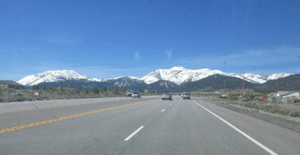
Approaching Mt Rose from the east. How do you get through that solid wall of rock? You go over it.
I selected a route from the map that I thought would take me through a pass in the mountains to the north of the lake. It turned out to take me over the summit of Mt Rose at 8911 feet. Following routes selected from a map without a GPS in this area is a challenge. The map shows the roads with route numbers, but the road signs only use the road name. In this case, I knew Mt Rose was in the direction I was going so I found my way.
As I approached a wall of mountains I could see a narrow ribbon of road near the top. I didn’t believe that I would soon me on that road. A construction project near the base of the climb backed up traffic so I was in a steady line of fifteen or twenty cars climbing the mountain. It had plenty of switch backs and steep climbs to deal with. The steady line of cars and the lack of good signs made it impossible to stop at any of the pull outs on the way up to the summit. My first stop was at the summit. The primary view was of snow.

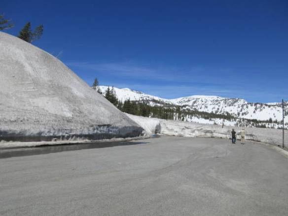
Snow at the top of Mt Rose
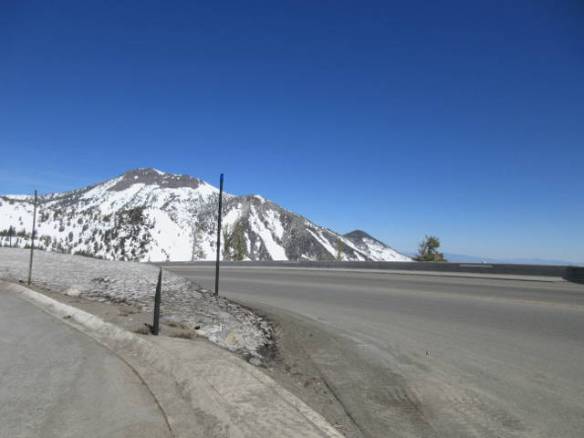
View to the east from the top of Mt Rose
The trip down the other side to the lake was not as curvy nor as long. The turn outs on the way down did not provide a view of anything but trees. I had several opportunities to see the lake and the surrounding mountains through openings in the trees. I started trying to take pictures through the car windows when I had a chance. The curves and traffic limited the number of times I was comfortable without two hands on the wheel.
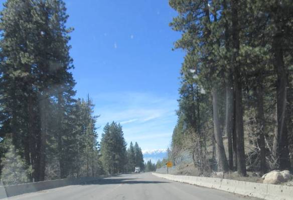
Lake and mountains in the distance as I went down the north west side of Mt Rose
My next surprise was caused by another one of my incorrect assumptions about the area. I thought the south and east sides of Lake Tahoe were relatively flat ground and the mountains were to the north and west. I was wrong again. Lake Tahoe is at 6225 feet in altitude surrounded by pine tree covered mountains. It is picturesque in all directions.
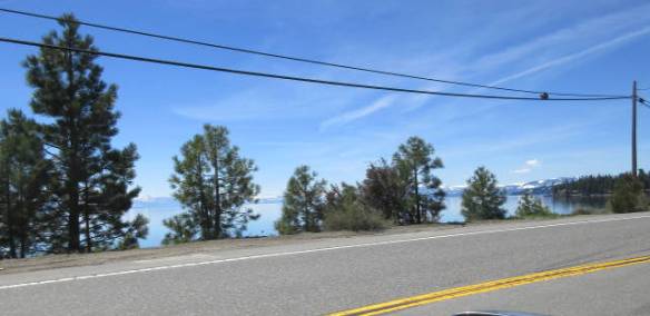
Snapshot of the lake as I drove along the shore.
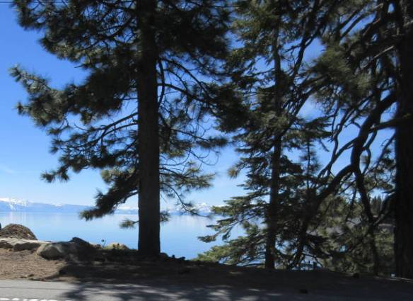
Snapshot of the still water of Lake Tahoe as I drove around the northern shore.
I drove around the northwest quadrant of the lake until I came to route 89 back to the town of Truckee on Interstate 80. This route passes through the Squaw valley site of the 1960 Winter Olympics. The road around the lake passed through interesting towns. For the middle of the day on a Thursday in early May the sides of the road were lined with parked cars and the lots that weren’t blocked off looked full. It makes me wonder what the area is like during one of the prime seasons for the area like summer or winter. This time of year is the lull between seasons. Many places are not open.


My tour of the northern part of Lake Tahoe has wet my appetite to see more of the lake. Tomorrow is the last good weather forecast for awhile, so I plan to head down the east side of the mountains surrounding the lake through Carson City NV to the South Lake Tahoe area.
