
Wednesday July 3rd 2017
Warm weather officially arrived in the Reno area today. It was the first day in 2017 that the temperature got above 80 degrees. Apparently, this warm weather is a few weeks late this year. This is another point that goes against my preconceptions about the area. For some reason I thought it would be cold in winter and hot in summer, but I didn’t expect to find a spring season.
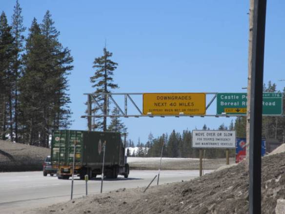
As is my habit the first day in a new area, I checked out the region today. I started by driving west on Interstate 80. The road follows the Truckee River for a few miles then turns up into the mountains. The route follows the path up to the Donner Pass area. Interstate 80 actually peaks a little to the north of the actual Donner Pass in an area more suitable to Interstate road construction. Donner Pass gets its name from the Donner party of travelers to California in the mid 1840s that had to make camp short of the pass for the winter. They ran out of food and resorted to cannibalism to survive.
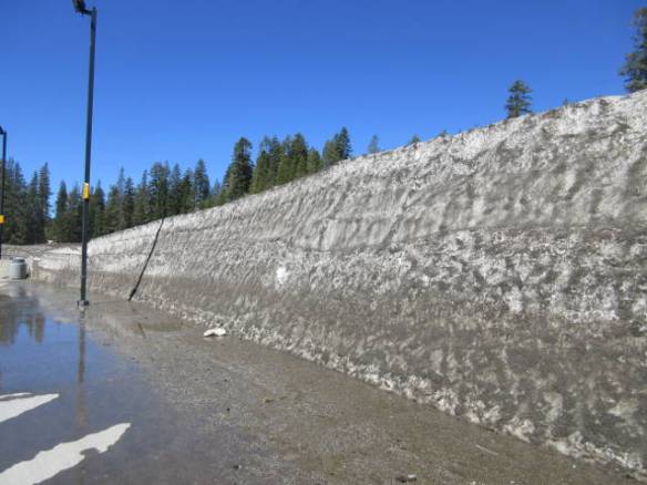
Snow bank in the rest area on Interstate 80 at the top of Donner Pass. The snow bank on May 3rd is over 10 feet high.
Climbing the mountains to the pass the road has some beautiful views to the north and south. Unfortunately, the scenic view was closed for construction so I couldn’t get pictures. As I neared the top I thought the road was passing through a different type of rock ledge, but it wasn’t rock. The road was lined with gray sand encrusted snow. In some areas it was ten or more feet high even after having melted for several weeks. The temperature today at the 7300 feet summit was 65 degrees Fahrenheit.
Interstate 80 at the top of the Donner Pass area. The grey surface is sand encrusted snow.
I stopped at the rest area at the top of the pass. It had high snow banks that weren’t quite as gray as the snow along the roads. There wasn’t a very good view from the rest area. It was isolated from the road by the trees that started near the peak and continued down the west side of the mountain range. The difference in foliage of the east slope from the west slope is striking. It brings back geography lessons on barrier mountains and coastal ranges.
I continued west on the Interstate as the road worked its way to lower altitudes. I passed the six, five, four and three thousand foot marker signs before I turned around for the return trip back up and over the mountain range. All total I drove 65 miles west from my campsite at least 60 of it in California. I’ll be back in the town of Truckee CA, about halfway up the mountains, sometime in the next few days to check out the western side of Lake Tahoe.
This afternoon I drove into Reno to checkout that area. Once again I didn’t find what I was expecting. Driving down Virginia Street, which seems to be the main drag, I passed several casinos. I didn’t pass many pedestrians. In Las Vegas and even Atlantic City there is pedestrian traffic between casinos. I didn’t expect anything like Las Vegas, but I thought it would out do Atlantic City. Maybe at night it will. I never found a place to park so I didn’t stop. The parking facilities are on the roads behind the casinos that parallel Virginia Street. I’ll go back before I leave the area.
